Climate Risk - getting down to the bottom line

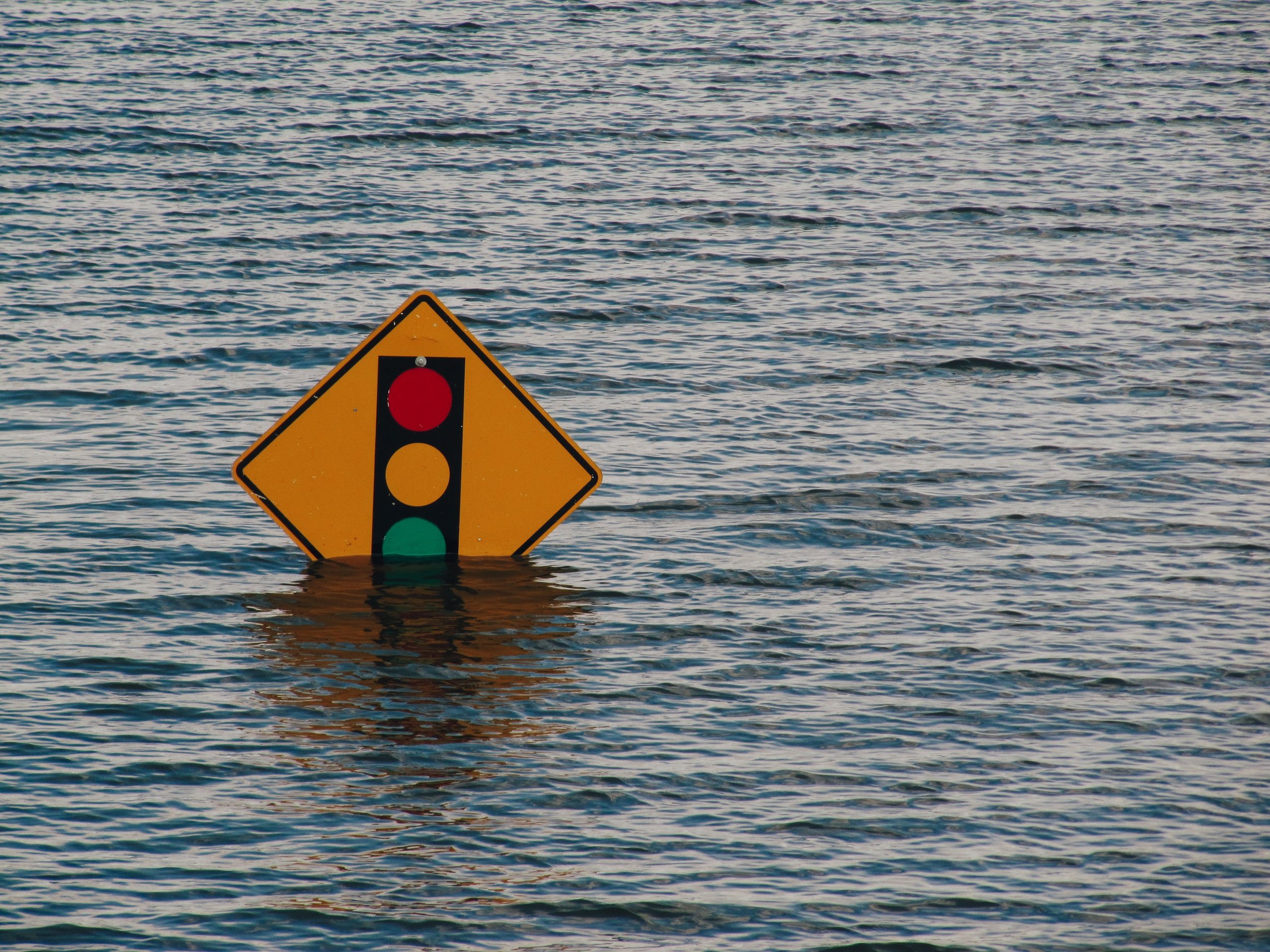
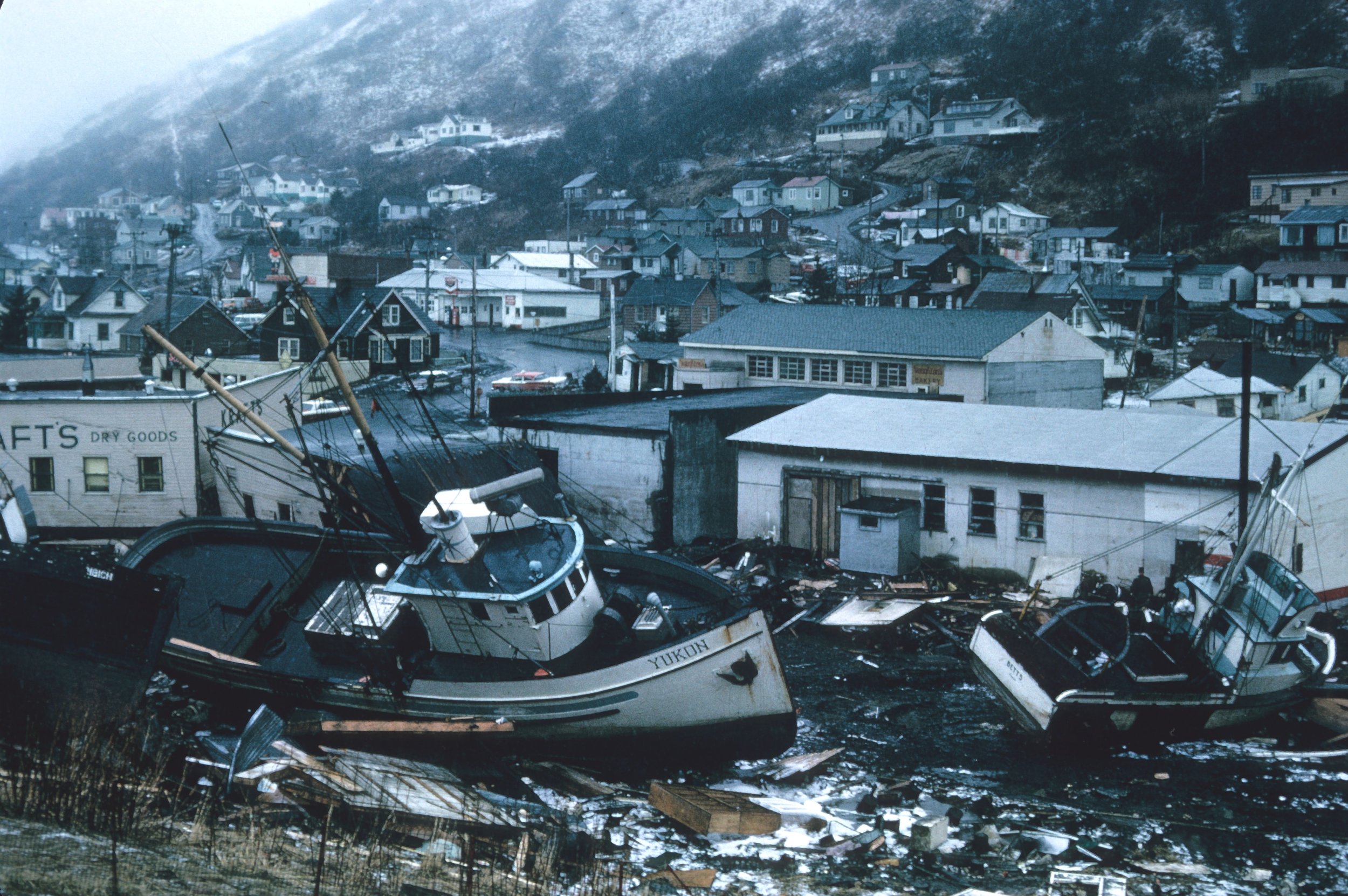
We are proud to announce that Envai is introducing a series of climate risks products! While we have previously focused on the effect of corporations on the environment through our emissions and Climate Pathway products, one cannot fully quantify the environmental risk facing any organization without also considering the effect of the environment on corporations. While the former focuses on ESG mandates and transition risk, the latter is crucial to understanding the impacts of a changing climate to the bottom line costs and survival of any company — no matter how green the company is.
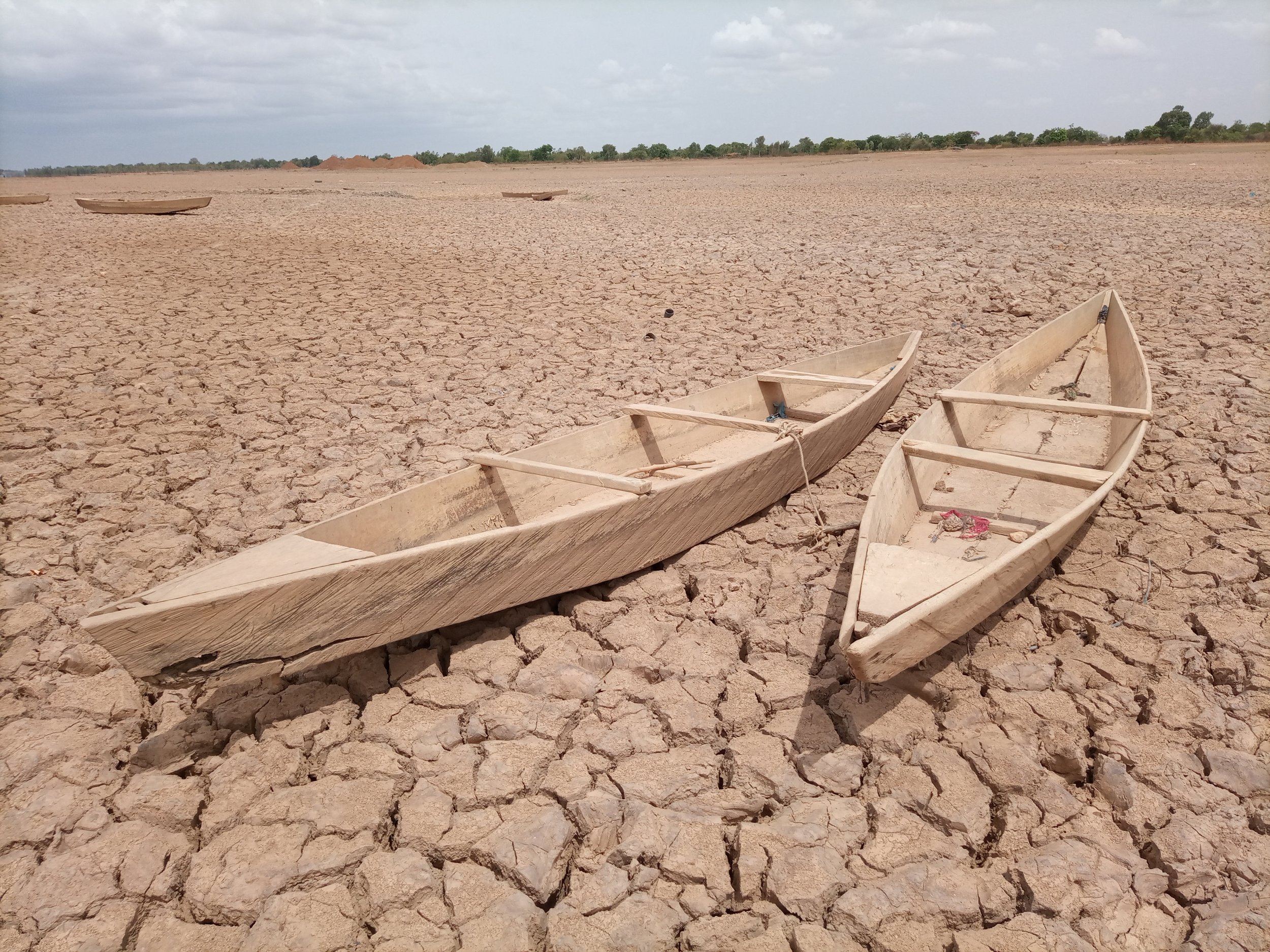
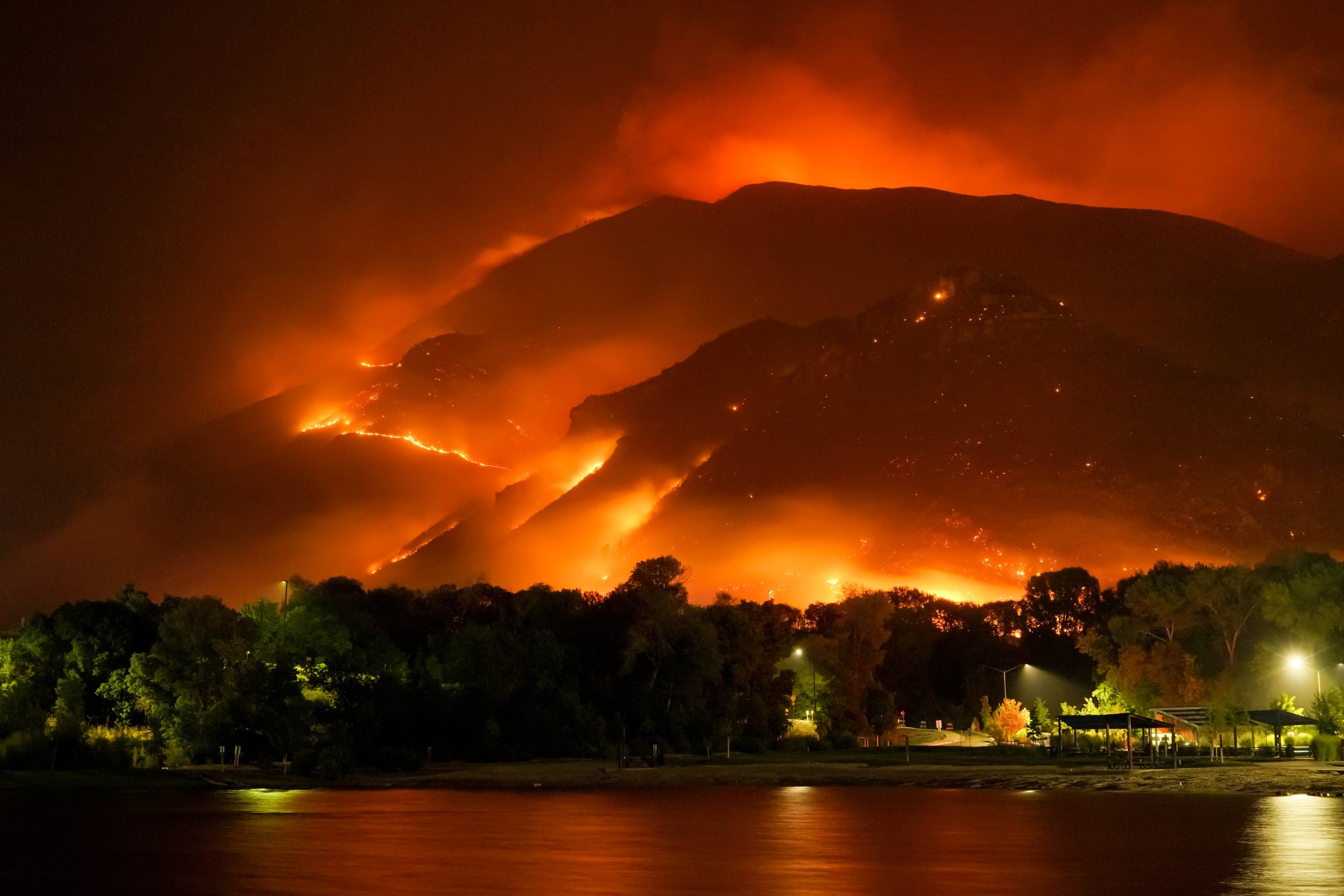
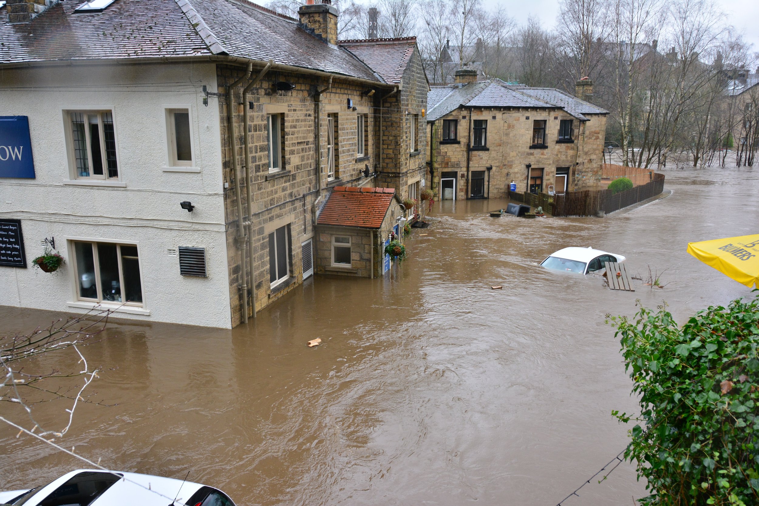
As a result, we are introducing our state-of-the-art climate risks products, initially focusing on flooding, sea level rise, and wildfires. As is already evident in 2022, these factors are continually challenging existing risk models and touch every aspect of business in the twenty-first century.
Given the expertise of our team, this is a natural next step in the growth of Envai. Dr. Mohajerani, the co-founder and CEO of Envai, received his PhD in Earth System Science at UC Irvine, focusing on glacier mass balance and sea level rise using satellite remote sensing, climate models, and machine learning (learn more here). Our CTO, Tharshi Srikannathasan has extensive research and operational experience in atmospheric science, focusing on the novel modeling and tracking of climate change related phenomena including extreme temperature and precipitation.
Sneak Preview: Flooding in Ontario
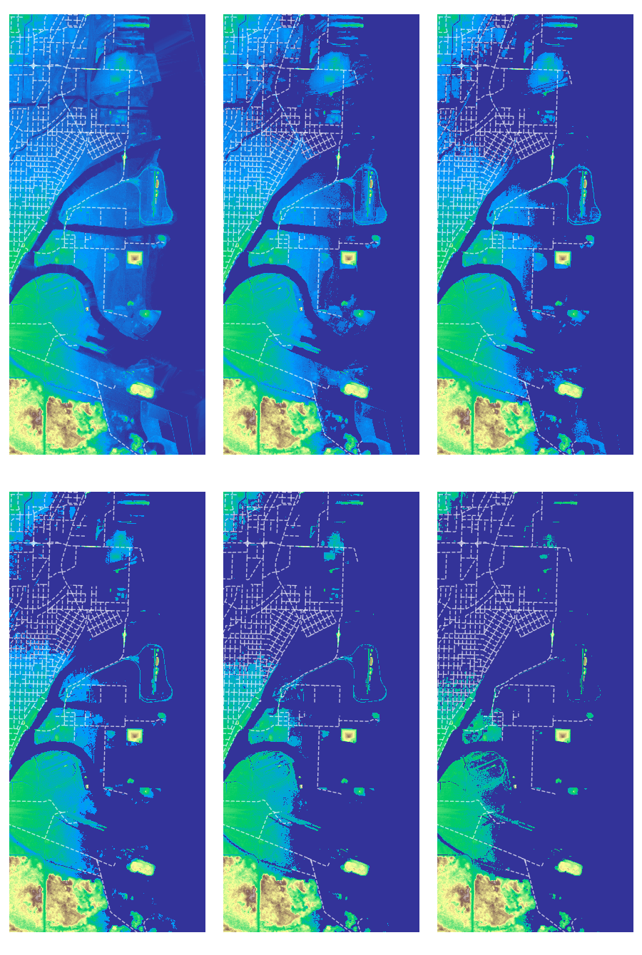
Thunder Bay, Ontario, Canada
Let’s take the case of Thunder Bay, Ontario. Thunder Bay has an elevation of about 186 meters by the coast. Now what would happen if there was a water surge of a few meters?
Using our exact topography model, along with the network of roads and highways, we can simulate the movement of water over time!
The water levels start to accumulate from the low-lying areas, and gradually flood areas up the coast as the flooding continues.
Now, while this scenario is not very likely, by combining these flood models with our trusted climate models and forecasts, we can provide a whole new layer of analysis for our clients. This allows them to examine physical risk — such as floods — at a high level of granularity and plan accordingly.
These analyses extend to various causes of floods, such as rain, storm surges, tidal floods, and riverine floods. Each component has a long history of analysis and modeling, which we incorporate into a central tool for analysis by our clients.
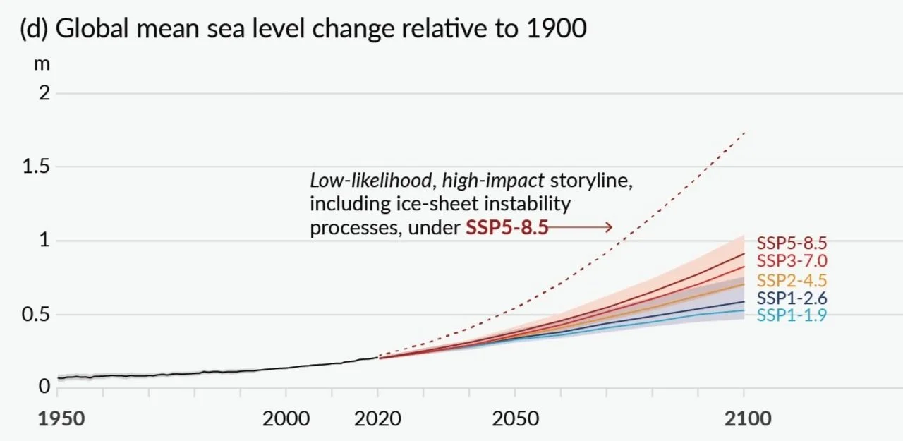
For example, detailed reports of global sea level rise trends, compiled from a large number of state-of-the-art studies, as reported by the IPCC can be integrated into our models to provide different probabilities for extreme events in this century.
Going from Climate Models to Dollars

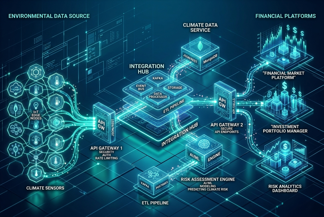
As impressive as climate metrics — in degrees and meters and liters — by themselves may be, they don’t help companies understand the bottom line impact of environmental hazard on their businesses. That is why we go even further, and combine our state-of-the-art environmental outputs with actuarial modeling to help our clients understand the financial cost of environmental hazards. This is not a one-size-fits all solution. As such, we provide our customers with the capability to outline their operations, with the associated geographical coordinates, and we will do the rest!
By combining our climate, risk, and actuarial models, we help corporations and investors tackle all aspects of environmental analysis — from mandates to transition risk to physical risk — at an unprecedented level of granularity and control. If you don’t want to be blindsided by a changing world, make sure to reach out to us to learn more!

Contact us to learn more about our risk products!